
This Website Lets You Time Travel To 1920s New York
It’s basically Google street view for Gatsby’s NYC.
New York, New York. The city so nice they named it twice. Considering how often we’ve seen it in TV shows, musicals and what seems like every indie movie ever made, you’d think we’d be tired of it by now.
Seriously, after more than 100 years of fictionalization, is there a side of New York we haven’t seen?
Answer: yes. In collaboration with the New York Public Library, developer Dan Vanderkam recreated the Big Apple as we’ve never seen it before — at least, not in this lifetime.
The project is called OldNYC, and there’s way more than meets the eye.
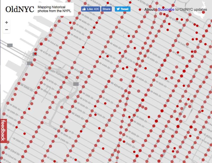
Every red dot on this map represents one or more historical photographs of New York from the 19th and 20th centuries. The dots were painstakingly plotted to create what is, effectively, Google street view for Gatsby’s New York.
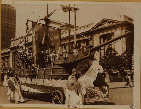
Curious what the 5th Avenue Fourth of July Parade looked like in 1918? Well, there were fewer fireworks and more…Vikings?
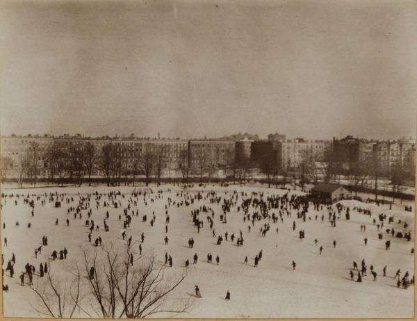
What about ice skating in Central Park in 1905?
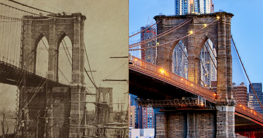
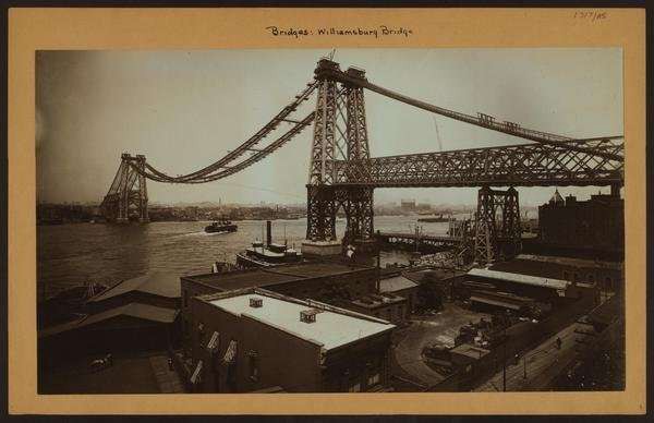
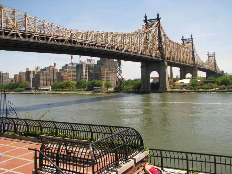
The Queensboro bridge looked a bit different while under construction in 1903.
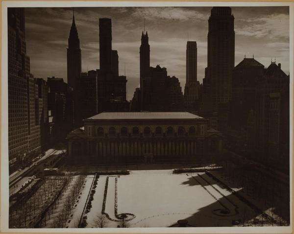
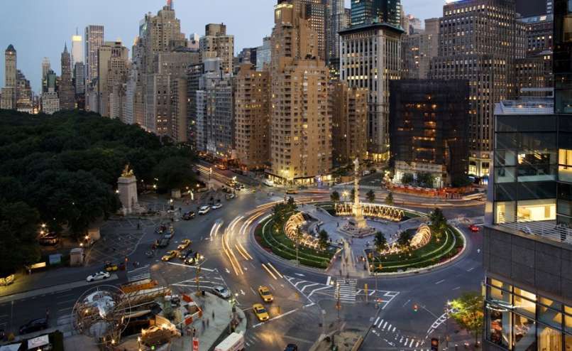
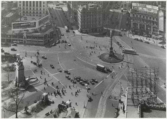
Here’s present-day Columbus Circle:
And here it is circa 1930:
Beyond painting a vivid picture of how the city itself has changed over the years, the archive also gives viewers a window into the lives of regular New Yorkers.
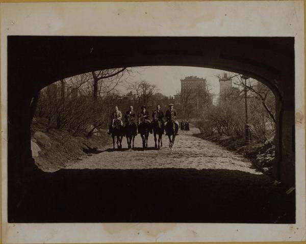
Remember when you could casually ride your horse through Central Park? *Sigh.* Those were the days.
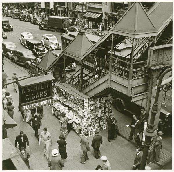
New Yorkers: Brusquely passing each other on the street since the Great Depression.
Comprised of more than 80,000 images, and overflowing into Queens and Brooklyn, the project is quite comprehensive. Immerse yourself in the history here, but history buffs and anyone suffering from era dysmorphia beware: You will get lost, and you might not want to come out.
All images via New York Public Library